Nature · 33 free printables
World Map Coloring Pages
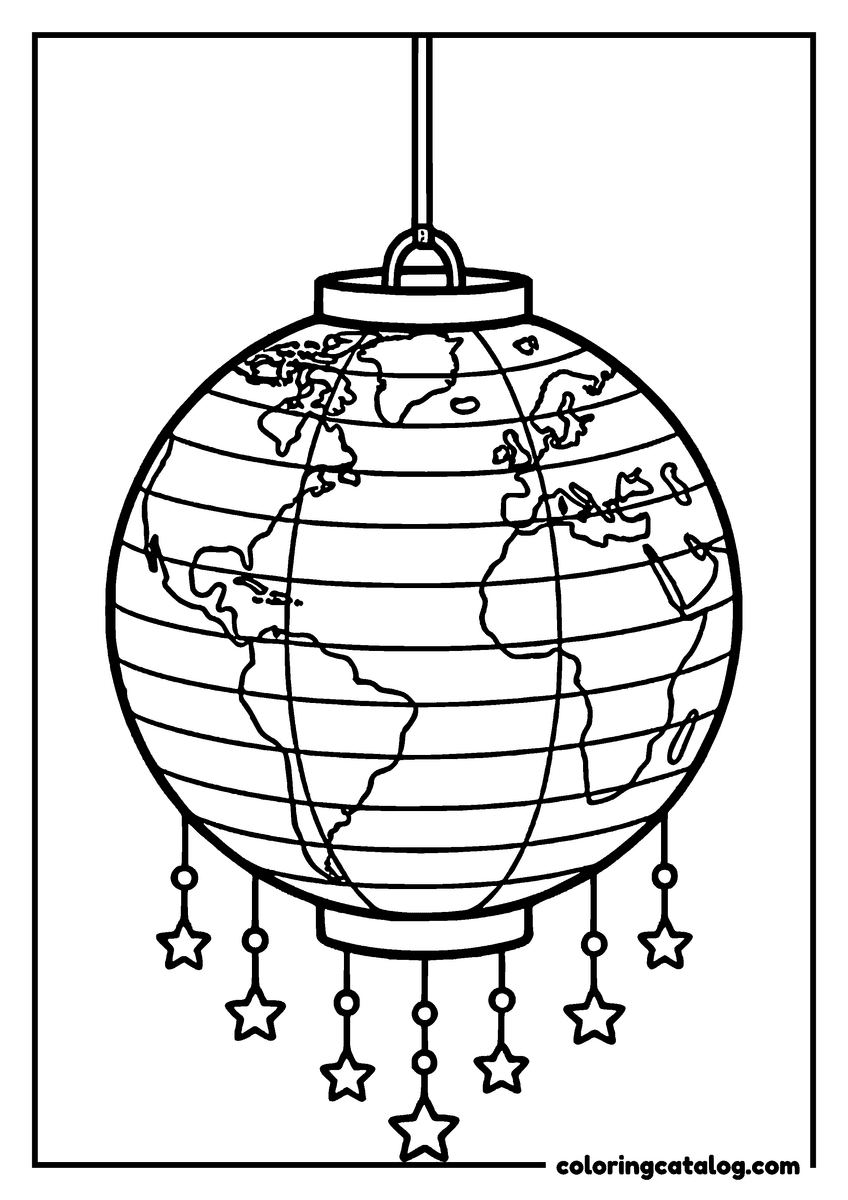
A world map with country borders, the two hemispheres, a map of each continent with its animals, desk globes and around the world scenes to color.
33 free printable world map coloring pages
Tap a drawing to see it full size and flip through the set. Press + to collect several and print them as one PDF.

- See it on Amazon
The original: weird and comfy, a world of mystical yet cozy creatures deep in their quirky vibes. Printed by Amazon: 88 pages at 8.5 by 8.5 inches, drawings on one side only.
Creepy characters drawn round and friendly, printed one side only.
- See it on Amazon
Guangna acrylic paint markers, 240 colorsMarkers
Opaque acrylic ink through a brush tip that goes from 1 mm to 6 mm, for the flat solid color that bold-and-easy pages look best in and a felt tip cannot match. They need weight under them: a single-sided book page or 120 gsm paper, not ordinary copy paper.
Opaque brush-tip acrylic for flat, solid color on bold pages.

- See it on Amazon
The book most people mean by Coco Wyo: animal friends doing laundry, cooking and cleaning, with small stories hidden in each scene. Printed by Amazon: 88 pages at 8.5 by 8.5 inches, drawings on one side only.
Bold, simple outlines and cute animals, done in an evening.
- See it on Amazon
Coloriages Mystères: Grands Classiques 11Book
The eleventh volume of the French series, illustrated by Jeremy Mariez. A hundred numbered pages across Encanto, Tangled and Cars, in the large format the series keeps. French edition: the pages are numbers and a color key, so nothing needs reading.
Numbered mystery pages across Encanto, Tangled and Cars.

- See it on Amazon
The original: weird and comfy, a world of mystical yet cozy creatures deep in their quirky vibes. Printed by Amazon: 88 pages at 8.5 by 8.5 inches, drawings on one side only.
Creepy characters drawn round and friendly, printed one side only.
- See it on Amazon
Guangna acrylic paint markers, 240 colorsMarkers
Opaque acrylic ink through a brush tip that goes from 1 mm to 6 mm, for the flat solid color that bold-and-easy pages look best in and a felt tip cannot match. They need weight under them: a single-sided book page or 120 gsm paper, not ordinary copy paper.
Opaque brush-tip acrylic for flat, solid color on bold pages.
Keep going
More free coloring pages to print next
Same 300 dpi PDFs, still free. Sheets you added to your pack stay there when you switch collections.
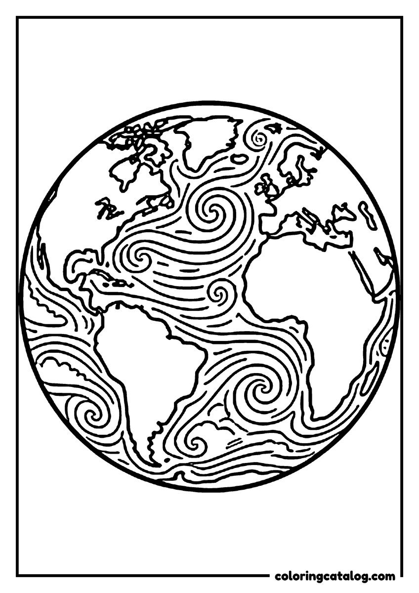
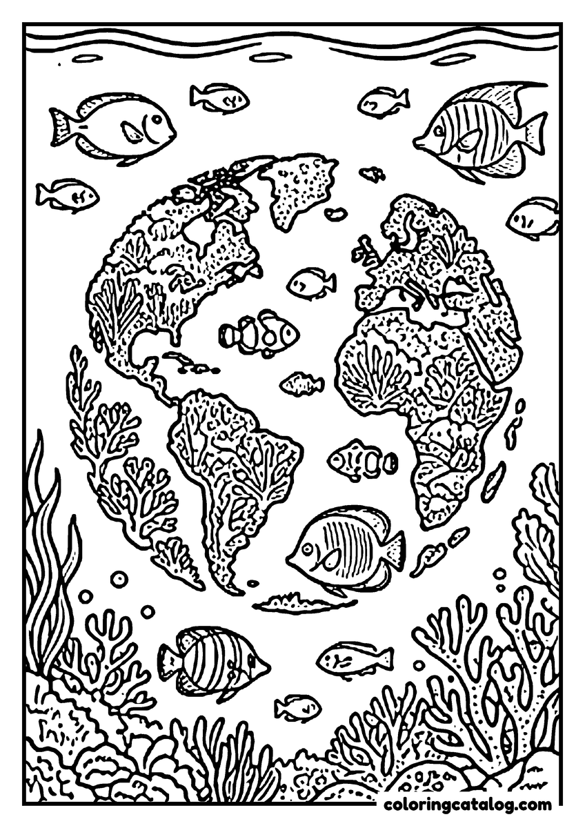
Our planet hugged, watered and seen from the Moon, Earth Day pages with a cutaway of the crust and core.
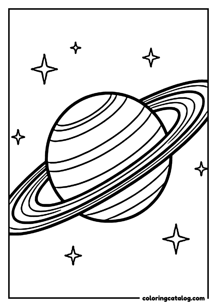
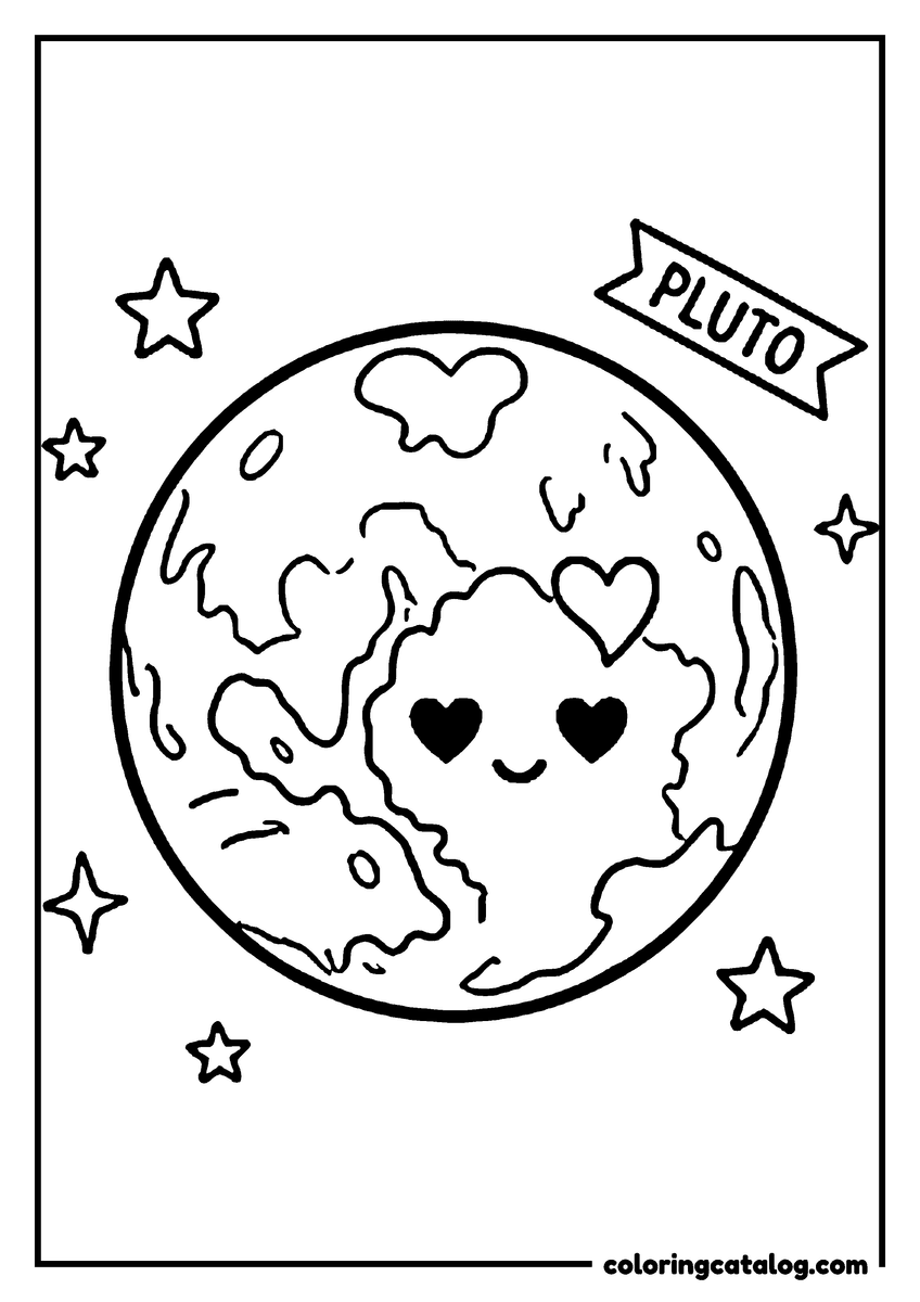
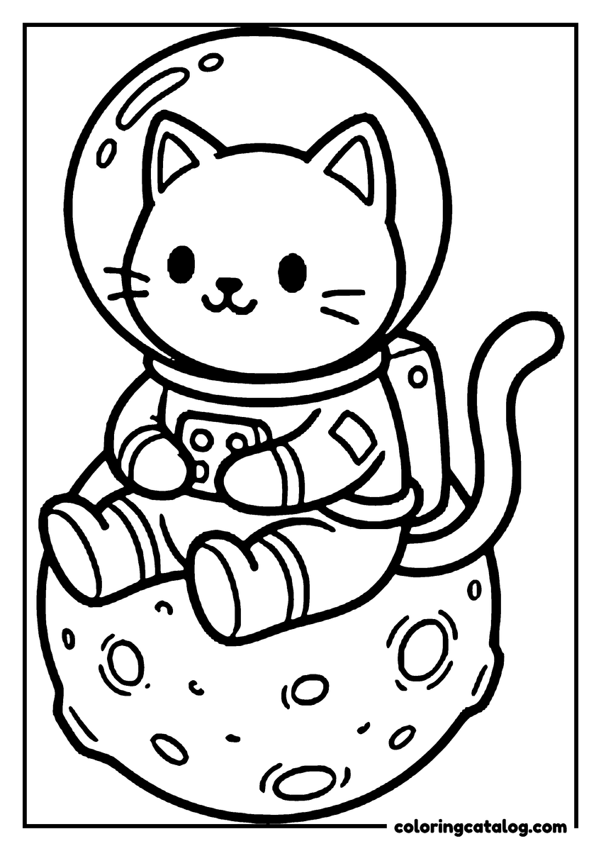
Saturn and Jupiter float near rovers and rockets in simple planet pages made for a solar system lesson.
Bald eagles and bison under big skies, American places and symbols for a history or geography class.
Octopuses and sea otters among the kelp, a deep dive for anyone who loves the sea and what lives in it.
About these world map coloring pages
Updated October 2026
These world map coloring pages are free to print and turn geography into something kids want to color. There are full world maps with every country outline, maps of the two hemispheres, a map for each continent with its own animals, classic desk globes and playful pages where the Earth floats under hot air balloons or rests in an octopus's arms.
What you will find in the collection:
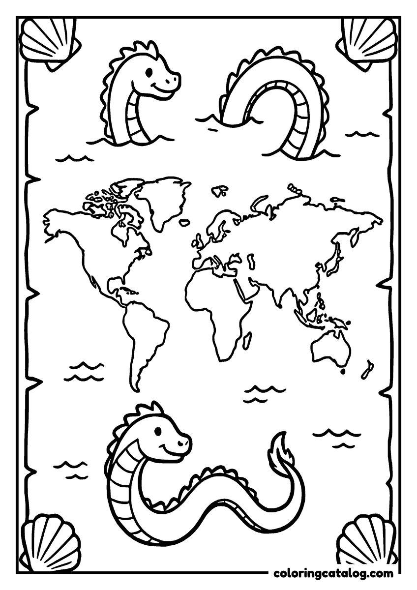
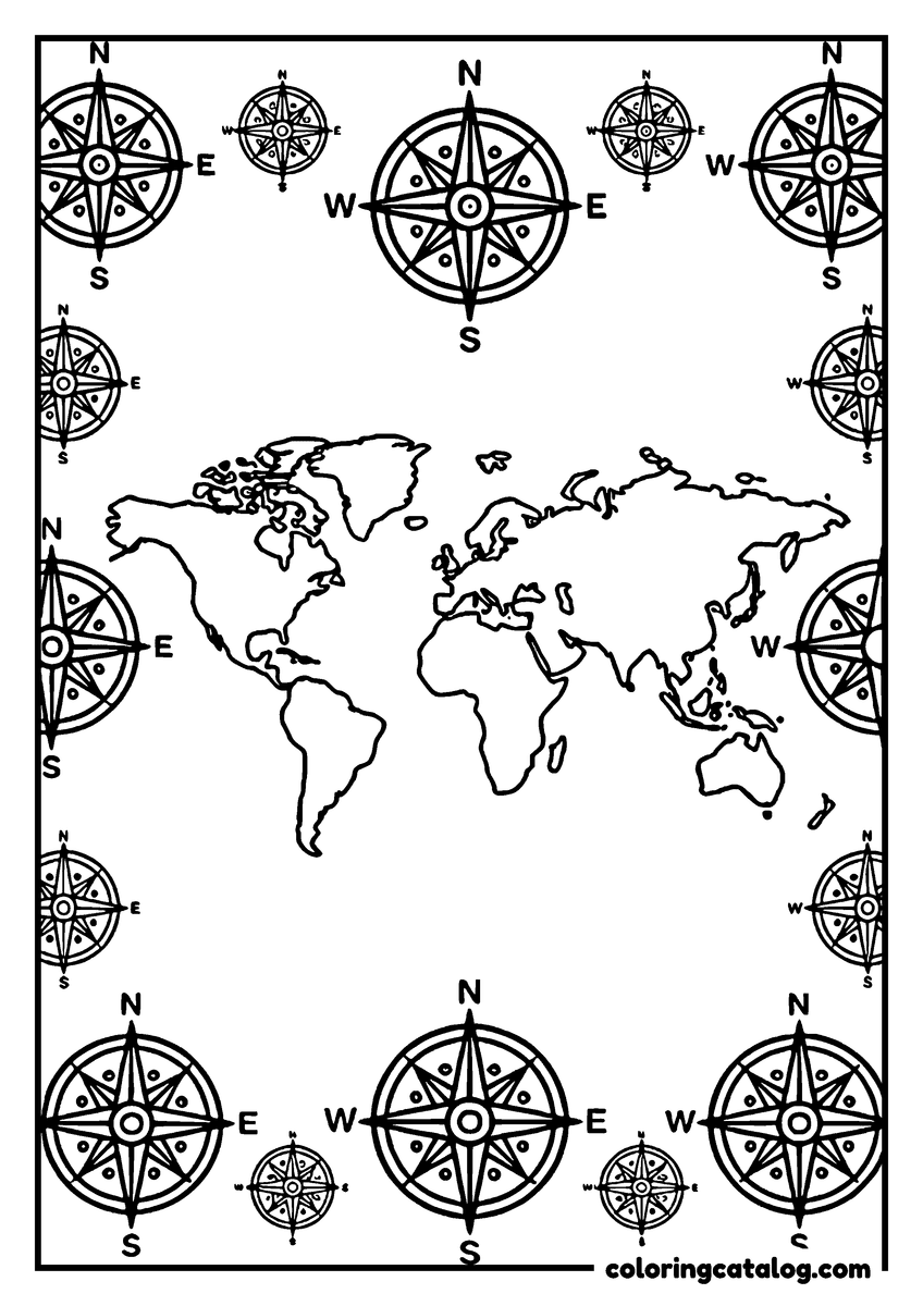
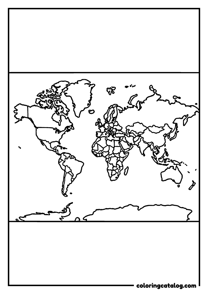
- Flat world maps: a map with country borders, a map framed by compass roses and an old-style map with sea serpents.
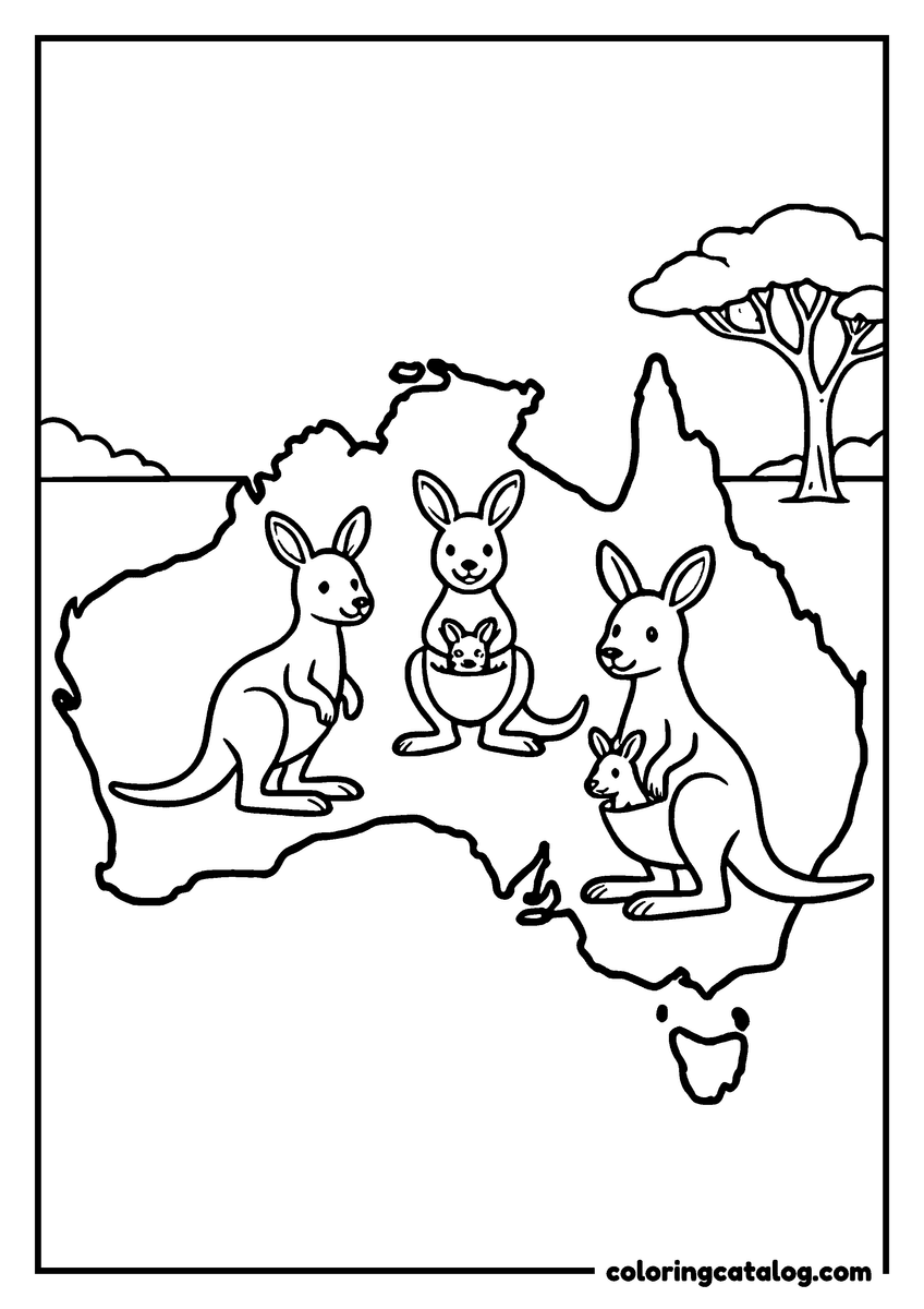
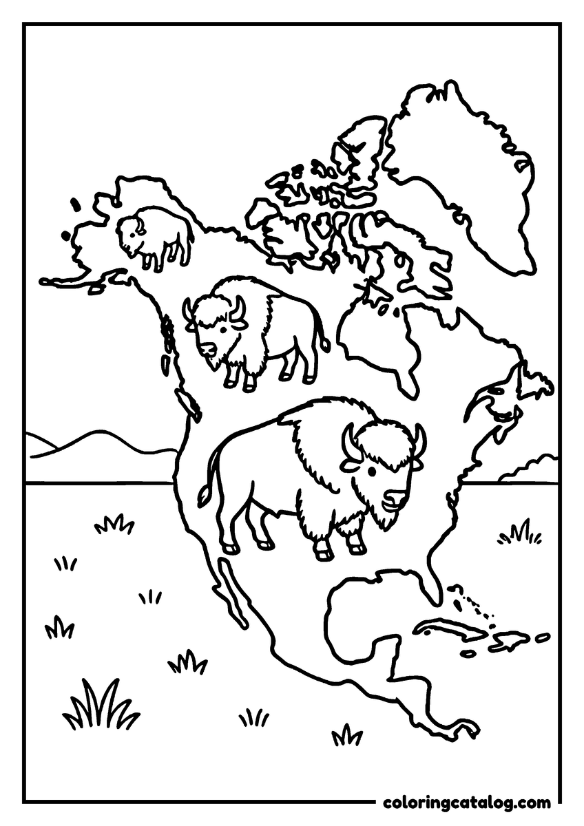
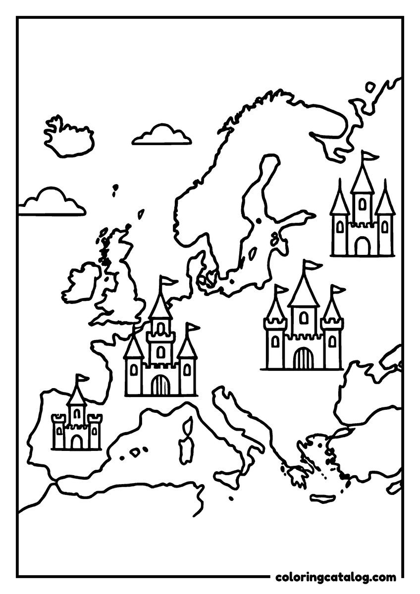
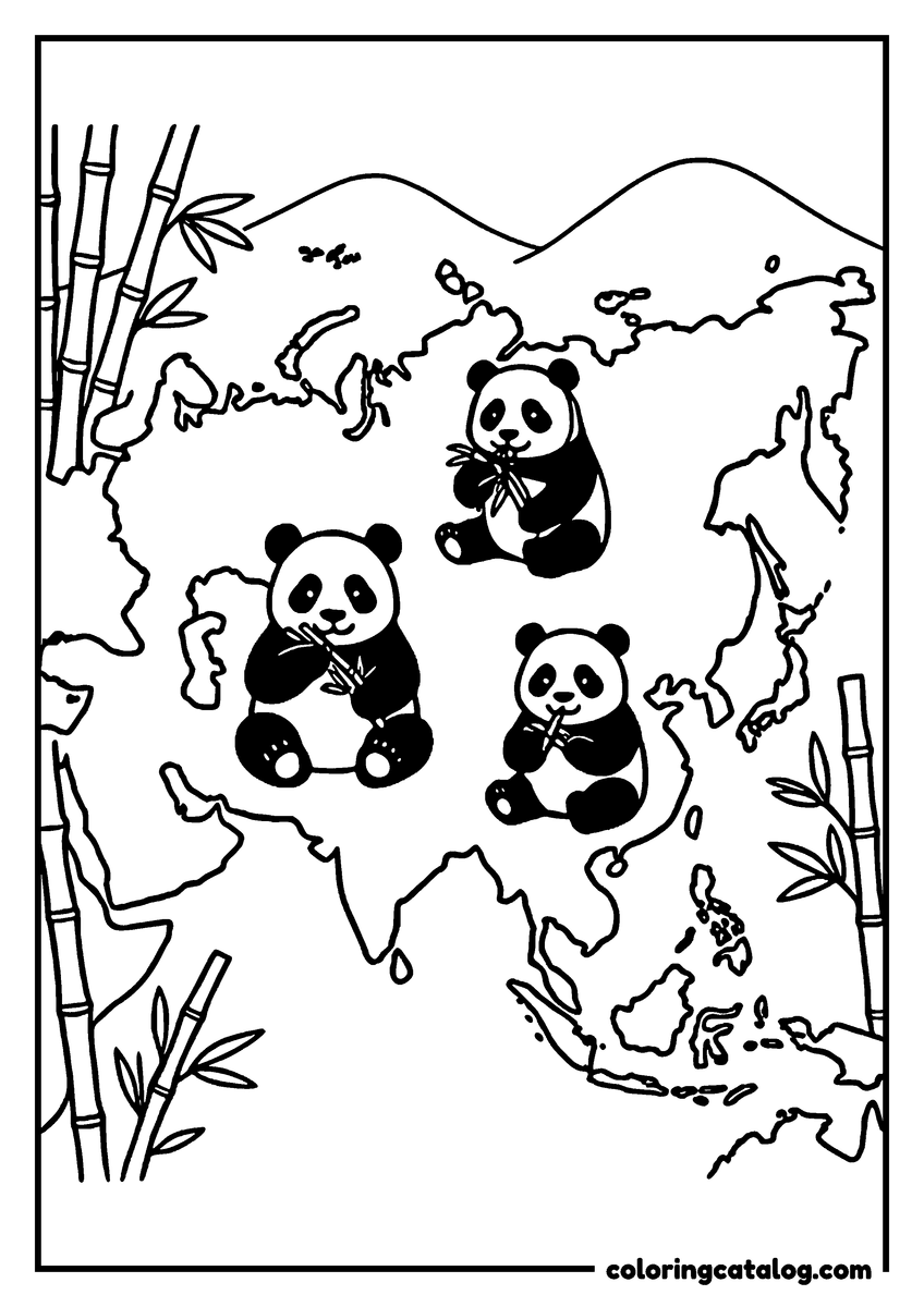
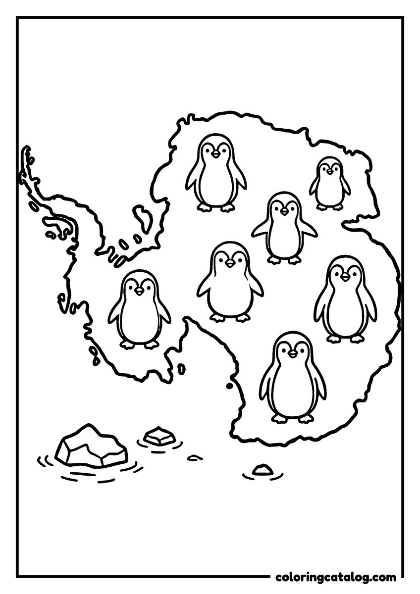
- Continent maps with animals: elephants in Africa, toucans in South America, kangaroos in Australia, bison in North America, castles in Europe, pandas in Asia and penguins in Antarctica.
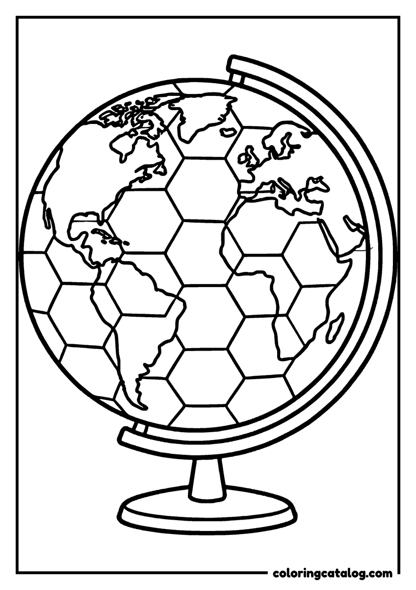
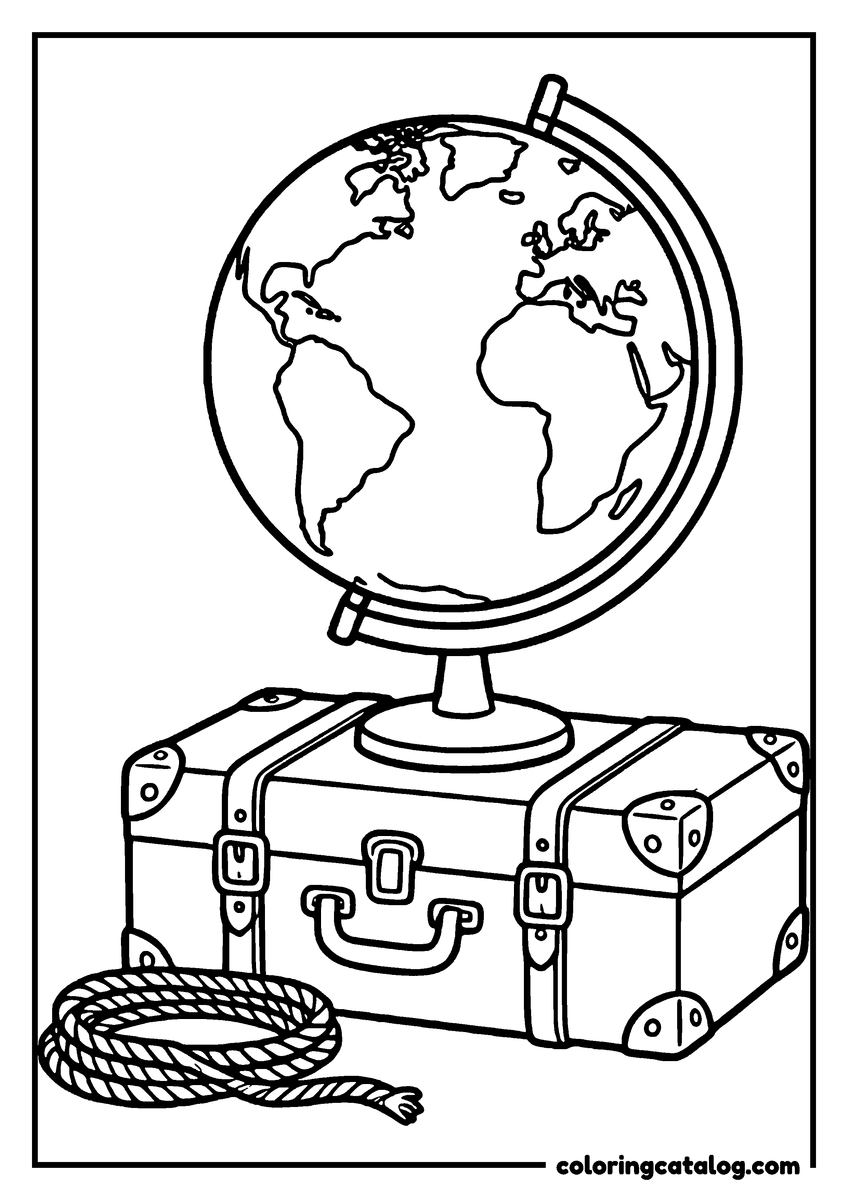
- Globes: on a desk, on a travel suitcase, inside a snow globe, with a hexagon pattern.
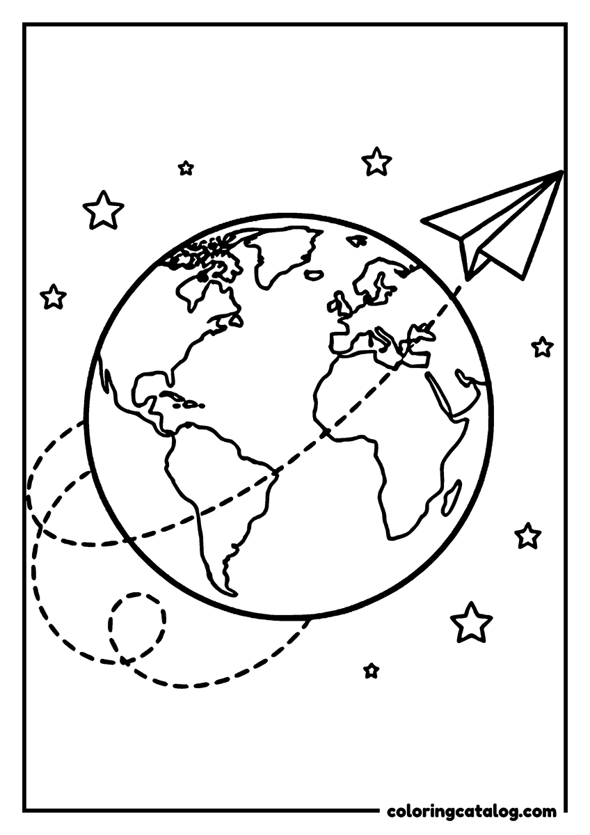
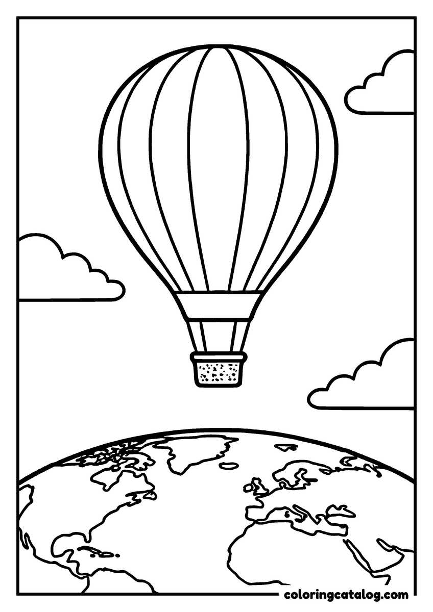
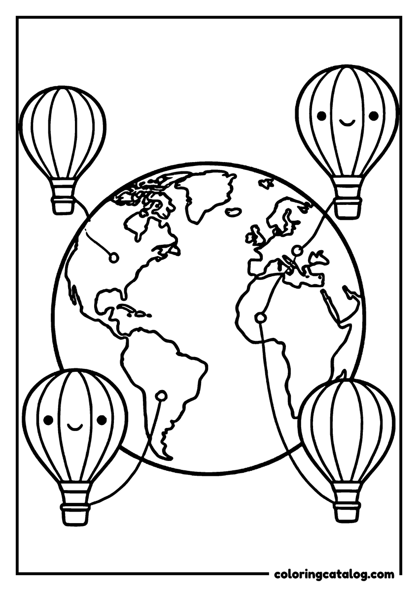
- Around the world scenes: a paper airplane, hot air balloons, migrating birds and children holding hands around the planet.
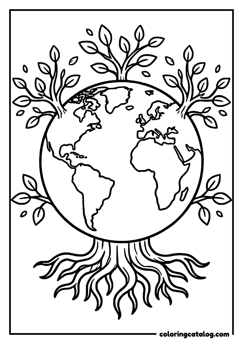
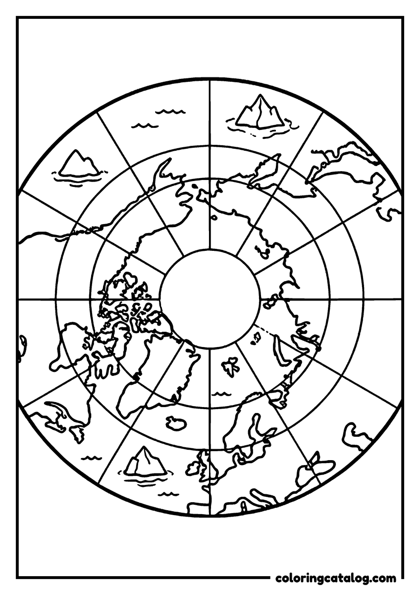
- Decorative Earths: a tree of life, a floral map, a paper lantern and a polar view.
World map coloring pages with country borders
For homework or a geography lesson, start with the flat world map with country borders. Every continent is there, with the lines between countries drawn clearly enough to color each nation a different shade. Kids can use it to find their own country, mark places they have visited or color the countries where family members live.
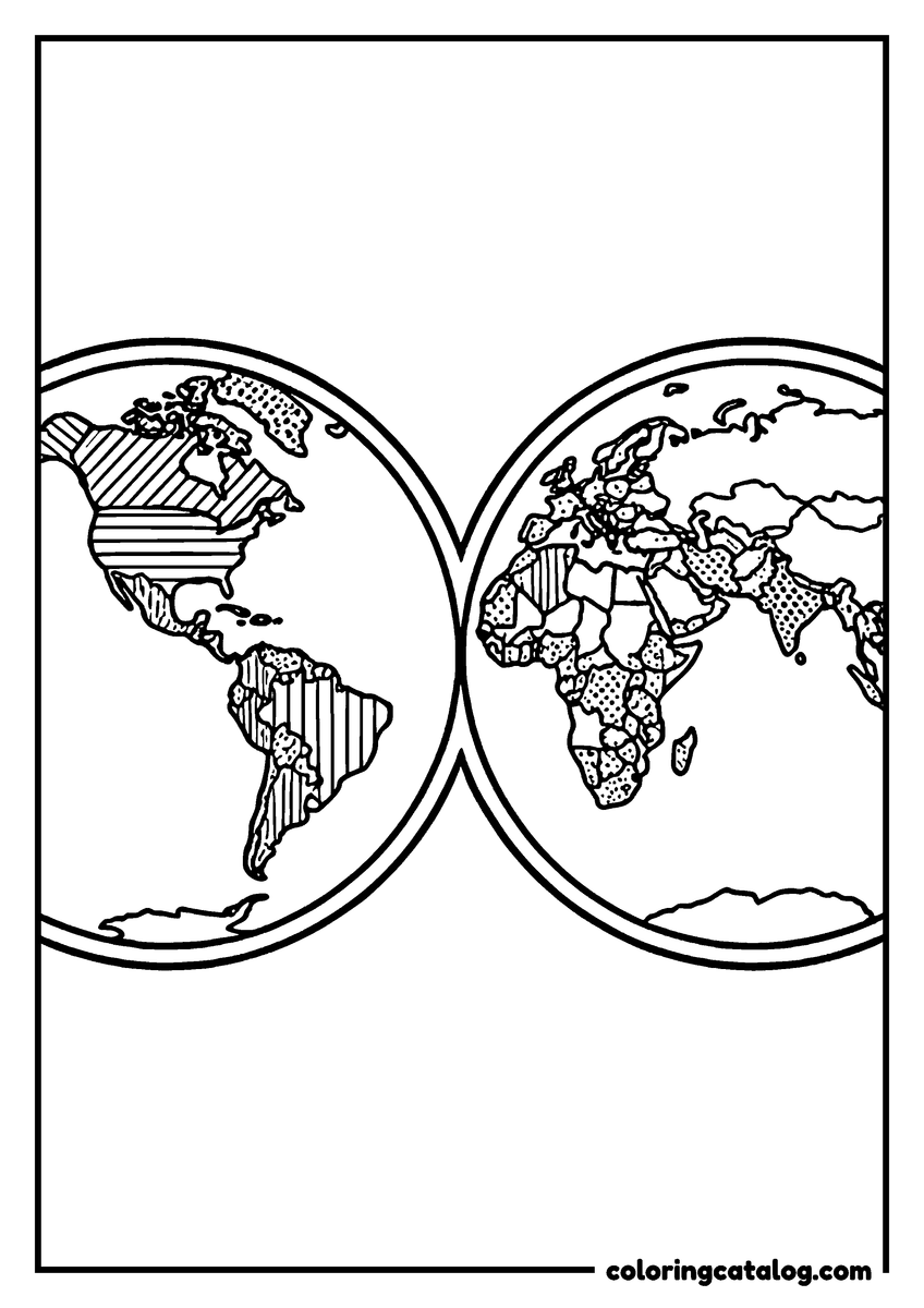
The map of the two hemispheres splits the world into the Western Hemisphere, with the Americas, and the Eastern Hemisphere, with Europe, Africa, Asia and Australia. Some countries are already filled with stripes and dots, which makes it a nice page for kids who like patterns.
A third map is framed by compass roses in every corner, each marked N, E, S and W. It is a good way to practice directions: which continent is north of Africa, which ocean lies west of Europe.
Continent coloring pages: a map and its animals
Each continent gets its own page, with an animal that lives there drawn right on top of the map. That pairing helps young children remember where each place is.
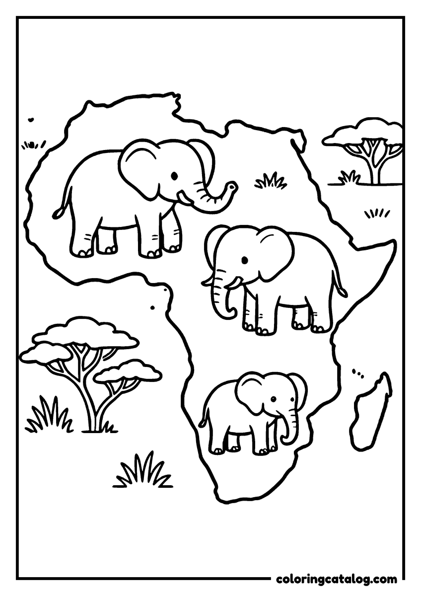
- Africa with a family of elephants and acacia trees, more in the elephant coloring pages.
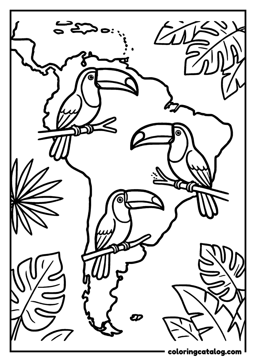
- South America with toucans perched among jungle leaves.
- North America with bison grazing on the plains.
- Europe dotted with castles, a theme that continues in the castle coloring pages.
- Asia with pandas eating bamboo, and more pandas in the panda coloring pages.
- Australia with a family of kangaroos.
- Antarctica with a colony of penguins.
There are seven continents in all, and kids can collect the whole set. Coloring each continent a different color and then finding it again on the flat world map is a classic classroom activity.
Globe coloring pages
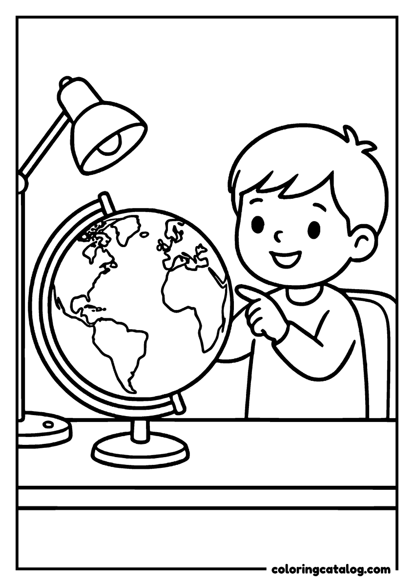
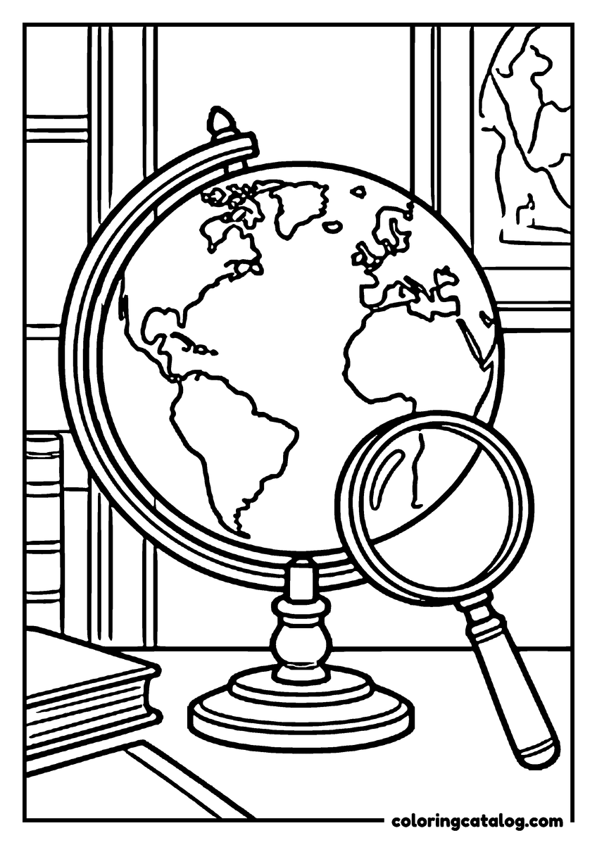
A globe shows the Earth the way it really is, round. The classic desk globe sits on its stand next to a boy pointing at the place he wants to visit, another rests on an old leather suitcase with a coiled rope, and a third is covered with a hexagon pattern, like a soccer ball.
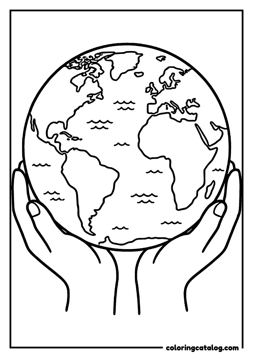
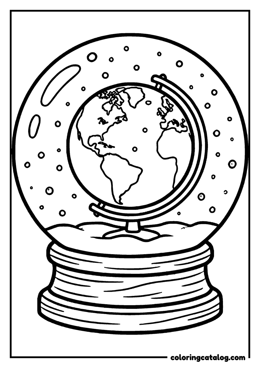
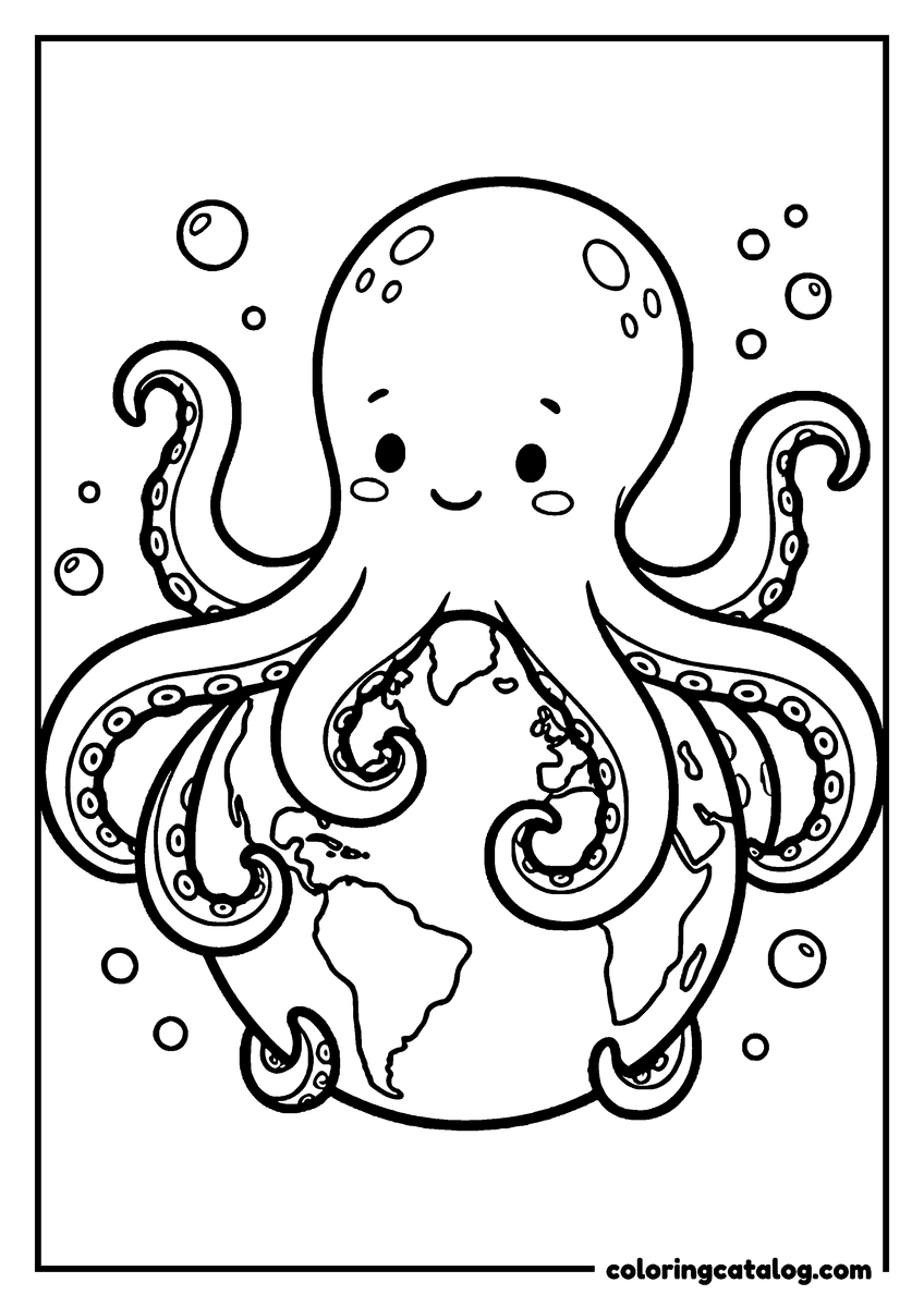
One globe sits inside a snow globe, a cozy page for winter. A smiling octopus wraps its arms around the Earth, a cheerful page about the oceans that cover most of the planet. The round Earth also appears on its own in many pages, held in a pair of hands or circled by a satellite among the stars. For the planet seen from space, the Earth coloring pages and planets coloring pages go further.
Around the world in coloring pages
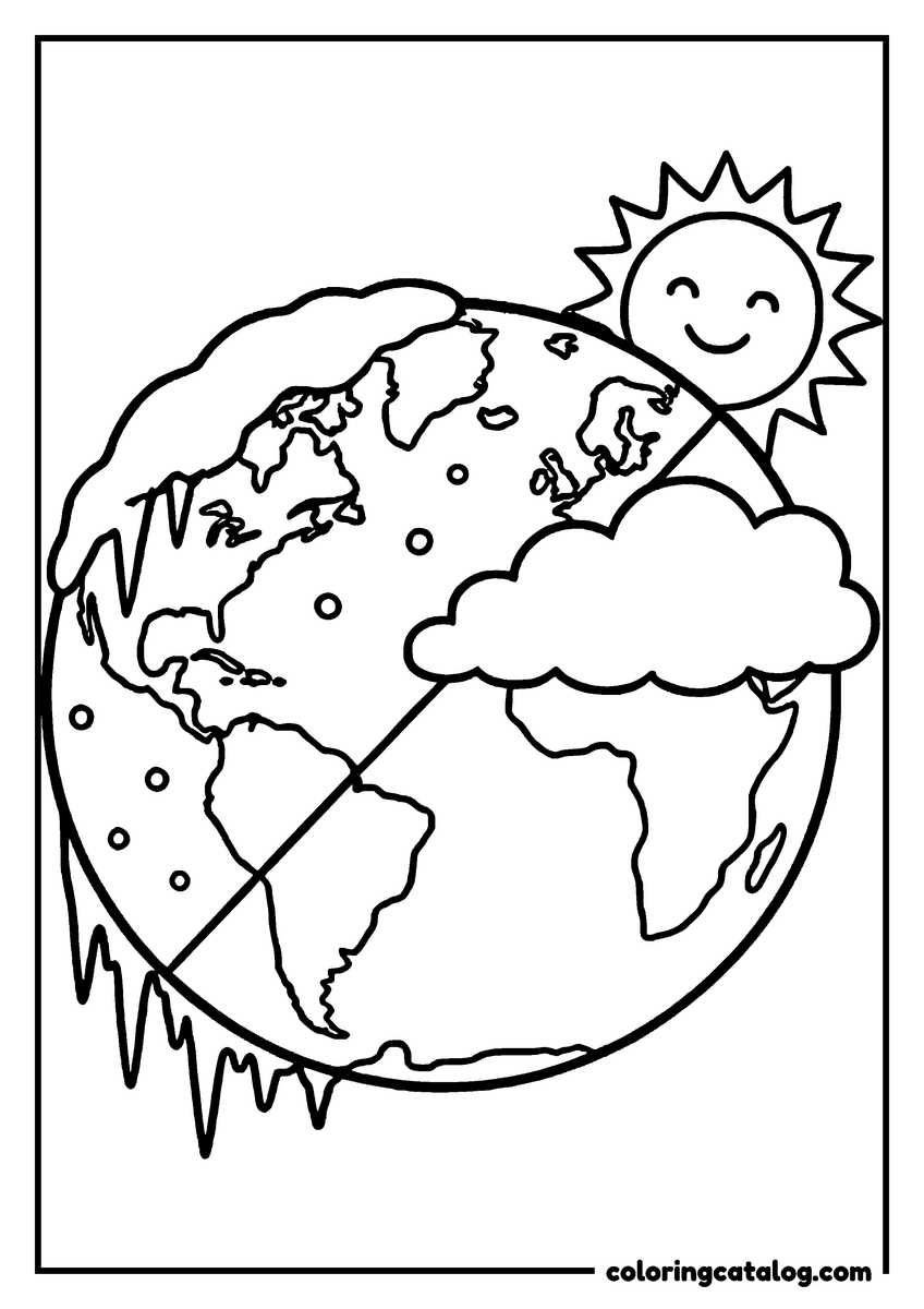
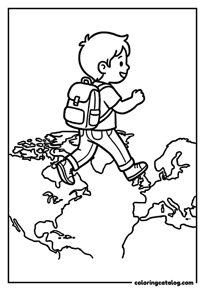
Several pages are about traveling the world. A paper airplane loops around the globe on a dotted flight path, and hot air balloons drift around the planet. A boy with a backpack strides right across the map, one step on each continent. The Earth even wears a smiling sun on one side and icy snow on the other, a playful way to show that seasons and climates change from place to place. The airplane coloring pages have more ways to fly.
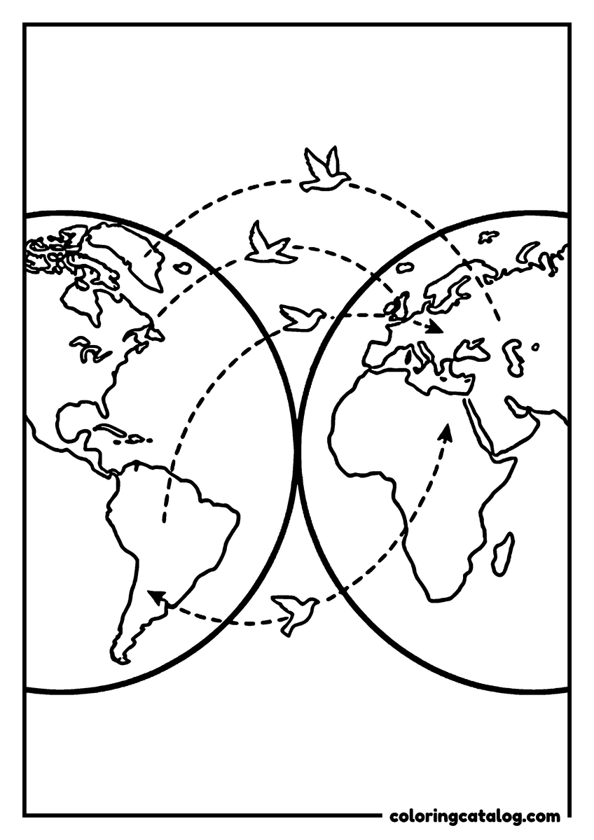
Birds follow dotted lines between the two hemispheres, the kind of trip the bird coloring pages can extend, a simple way to explain migration: some birds, like the Arctic tern, fly from one end of the Earth to the other every year.
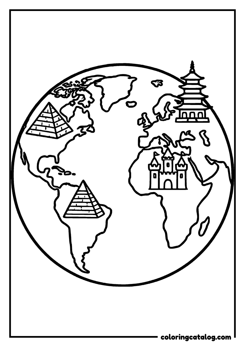
Children in clothes from around the world hold hands in a circle around the globe, a lovely page for a lesson on cultures or for a classroom wall. Another globe shows famous landmarks such as the pyramids of Egypt, a pagoda and a castle.
Old maps, sea serpents and explorers
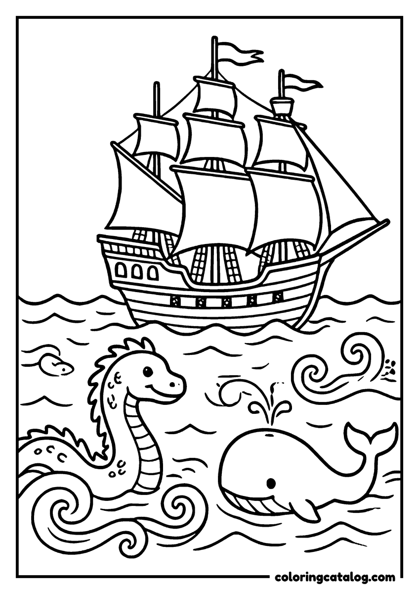
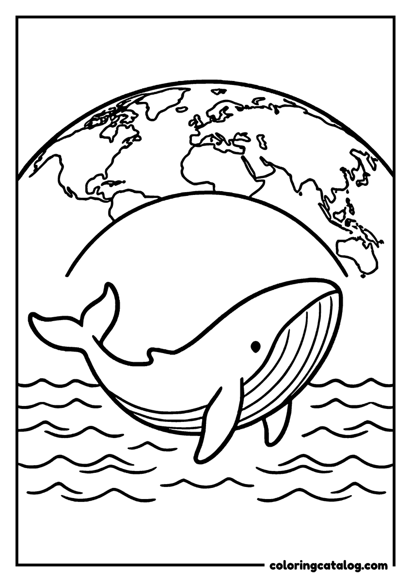
Long before satellites, mapmakers decorated the empty parts of their maps with sea monsters. The old-style map copies that habit, with sea serpents curling in the corners and shells along the edges. Another shows a tall sailing ship on the waves with a sea serpent and a whale swimming beside it, and a big whale also leaps from the sea below one of the globes. The whale coloring pages have more of these giants.
These pages are a fun way to talk about the great voyages of exploration. Kids who love the open sea can sail on with the pirate coloring pages or meet the sea creatures of the ocean coloring pages.
Simple globes and an intricate floral map
The globe pages and the continent maps with big animals are easy for younger children, with wide shapes and few tiny islands. Quick to color, above the grid, puts them first:
- Earth with Sun, Clouds and Snow
- Hands Holding the World
- Hot Air Balloon over the Earth
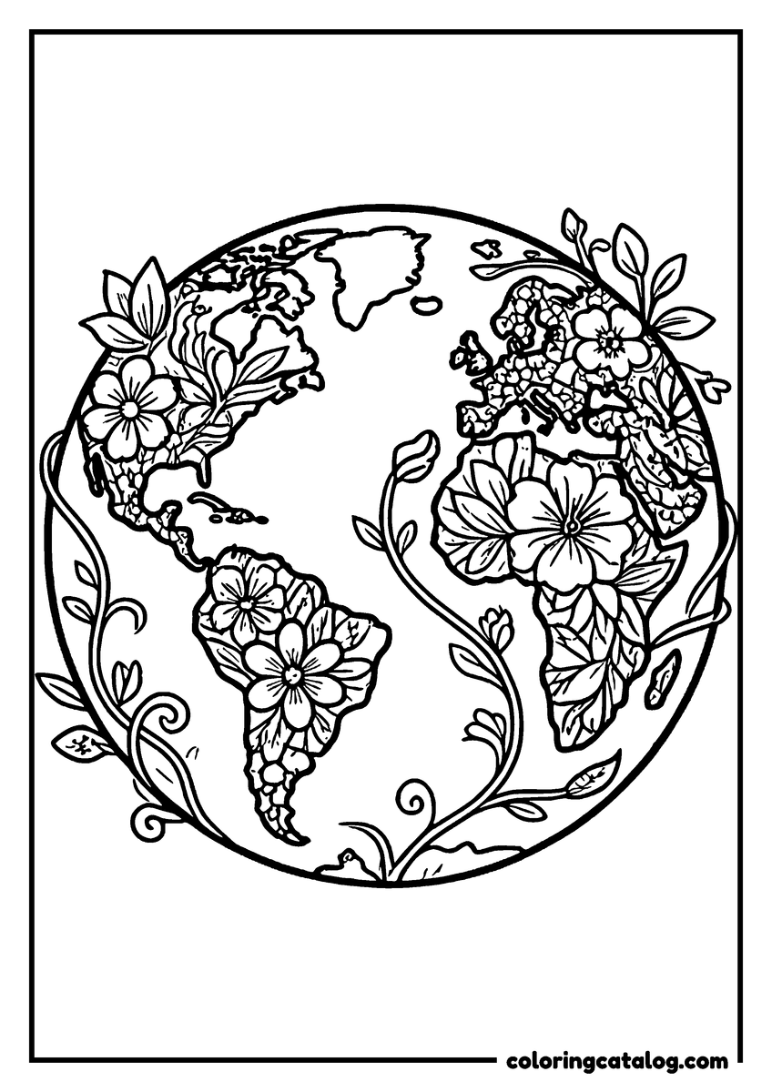
The floral map fills every continent with flowers and vines, an intricate design and a calm project for older kids and adults. Lots of detail shows it:
- Floral World Map
World map colors: oceans, continents and countries
Real maps follow a few habits that kids can borrow.
Land and sea
- Oceans in blue: light blue near the coasts, darker blue in the open sea.
- One color per continent: it makes the seven continents easy to tell apart.
- ### Countries
- Neighboring countries in different colors: mapmakers have shown that four colors are always enough so that no two neighbors match.
- Antarctica in white with a touch of pale blue for the ice.
- Deserts in yellow, forests in green, if kids want to show what the land looks like.
For a map of a single country, try the United States coloring pages or the Mexico coloring pages.
Printing a world map for school
Each world map is a 300 dpi A4 PDF, free to download. The flat maps fill the width of the page, so on US Letter choose fit to page to keep the edges. Teachers can gather a whole continent set with Add to pack, and the printing guide covers the browser settings.
World Map Coloring Pages: questions and answers
Is there a world map with country borders to color?
Yes. The flat world map shows the outline of every country, clear enough to color each nation a different shade for a geography lesson or homework.
Can kids color each continent separately?
Yes. Africa, South America, North America, Europe, Asia, Australia and Antarctica each have their own map, decorated with an animal that lives there.
What colors should a world map use?
Blue for the oceans, one color per continent, and different colors for neighboring countries. Four colors are always enough so that no two neighbors share one.
Are these maps good for school?
Yes. Teachers use the flat maps and the continent set for geography units, and the compass rose map helps children practice north, south, east and west.
How do I print a world map on US Letter paper?
The maps are A4 PDFs. On US Letter, choose fit to page in the print window so the edges of the map are not cut off.
Same drawer
More nature coloring pages
Sandcastles, sprinklers and campfires by the lake, summer vacation pages with plenty of action for big kids.
Adult colorists will enjoy real flowers drawn up close, peonies in full bloom and sunflowers in a tin bucket.
Cold days indoors pass quickly with figure skaters spinning on the rink and foxes diving into the snow.
Hedgehogs in the leaves and cocoa on the porch, autumn pages to color from September to Thanksgiving.